
ELECTIONS, INTRODUCTIONS, GOALS AND RESOLUTIONS, HELP PLAN THE 2018 KICKOFF!
ELECTIONS, INTRODUCTIONS, GOALS AND RESOLUTIONS, HELP PLAN THE 2018 KICKOFF!
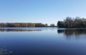
Draft Carstens Lake Management Plan is available for public comment. Please provide comments by Dec 5, 2017 to Melissa Curran, Stantec Consulting Services at (920) 841-1072 or Melissa.curran@stantec.com.

by Hanna Edelglass The Manitowoc County Lakes Association is special in several ways, as we learned last Saturday, the 21st of October, 2017, at our annual banquet! Our speaker for the evening, Mary Knipper, Board President of Wisconsin Lakes, said, You are one of few county-wide lakes associations in Wisconsin to address watershed issues as a mission… you are […]
A recap of the 9/28 MCLA meeting with Russ Green of NOAA and the status of the proposed Lake Michigan Marine Sanctuary.
RUSS GREEN, Regional Coordinator, NOAA Office of National Marine Sanctuaries will discuss the status of the proposed Marine Sanctuary at our next meeting.

Spotlight on the Manitowoc-Sheboygan Watershed • Thursday, Sept. 21, 7–9 pm at
Manitowoc City Hall

Pete Tarnowski presents on of the status of Manitowoc County Parks available. See recent improvements and future plans!
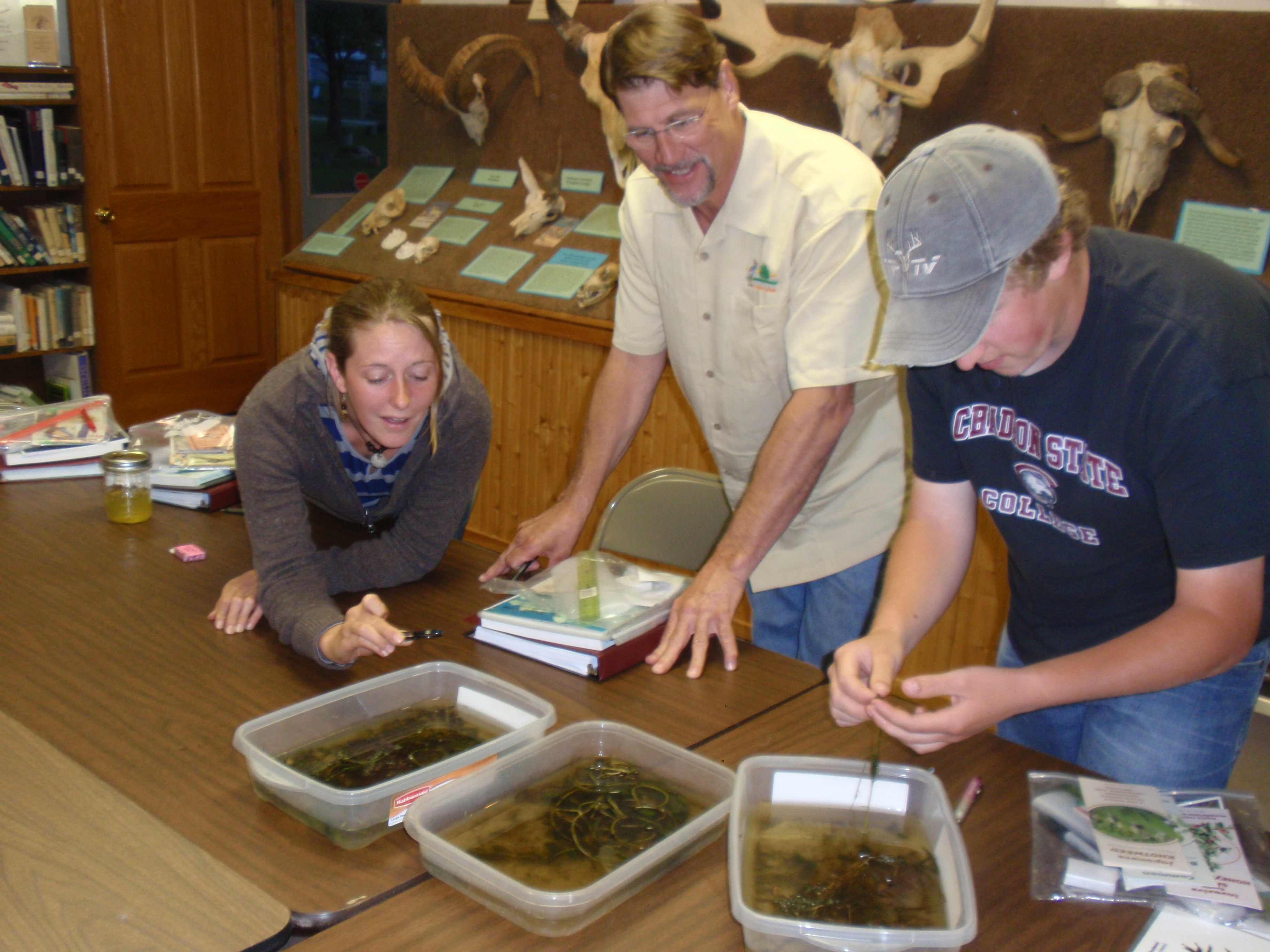
If your lake no longer has a volunteer trained to monitor for Aquatic Invasive species, this is your last opportunity of the year to become a qualified monitor. Monitors go out monthly to survey the lake for any new entries of invasive species. Early detection allows for a response to control the invasive before it […]

All hands on deck this 4th of July weekend to stop AIS in Wisconsin!
This holiday weekend is the ninth annual Landing Blitz, a statewide effort to remind boaters to use their power to stop the spread of aquatic invasive species. Volunteers will be on hand at County lakes to remind you to Clean! Drain! Inspect!

Attention all AIS monitors and those interested in monitoring. Mark your calendars for Thursday May 25th, 6:30pm at the County Offices on Expo Drive, for the next MCLA meeting. Tom Ward will conduct a review of the photo documentation procedures and provide an ID book; it would be helpful to have a count before the meeting (email […]

by Hanna Edelglass
Have you ever wondered how sloshing around, ankle deep in water, on top of a sheet of ice, helps you to get to know your lake? We were drilling holes into the ice, angling for plants and small organisms, finding where the fish are and why they are there and each answer only brings more questions. Such as, why are these plants here? And what is their effect on the water, on fishing, on boating and swimming, property values, even the local economy? We explore and work to find out how all this relates to what flows into this lake, which can create positive or negative change, upsetting or healing its natural balance. This is the purpose of our scientific endeavor. I learnt some of that on the ice with Manitowoc County’s Cedar Lake residents and Paul Skawinski (an Aquatic Biologist and Outreach Specialist for UW-Extension) in February of this year. And yes, I wore warm, waterproof boots.

UPDATED APRIL 21, 2017. Bruce Riesterer, Resource Conservationist at the Manitowoc County Soil and Water Conservation Department, has created a new, interactive, watershed mapping tool. Click here to use it to view the watershed for your lake.
Private and public lake watersheds are displayed, with a choice of base maps that includes terrain, street maps, satellite and others.
 The new mapping shows the watershed land area and boundaries quite clearly. Because the water quality of each lake is affected by things happening in this area, this new level of precision is quite helpful! The boundaries are now more accurate because of new lidar-generated elevation data recently made available.
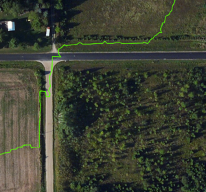
The image shown here is a great example of the new level of detail this tool provides, as evidenced by the watershed boundaries for Tuma Lake. The light blue area is the watershed according to previous maps. The bright green is the watershed as drawn by the new mapping tool.
On the actual mapping tool website (http://manitowoc.maps.arcgis.com/apps/View/index.html?appid=c38b2149d3b947eb9bd120f5480c4a1e) the user can zoom in to show an extreme level of detail, as shown in the second image.
Bruce asks that people take a look at the watershed for their lake(s) and let him know immediately if they see something that doesn’t seem accurate (e.g., placement of culverts). You can contact him at bruceriesterer@co.manitowoc.wi.us